The humidity is back.
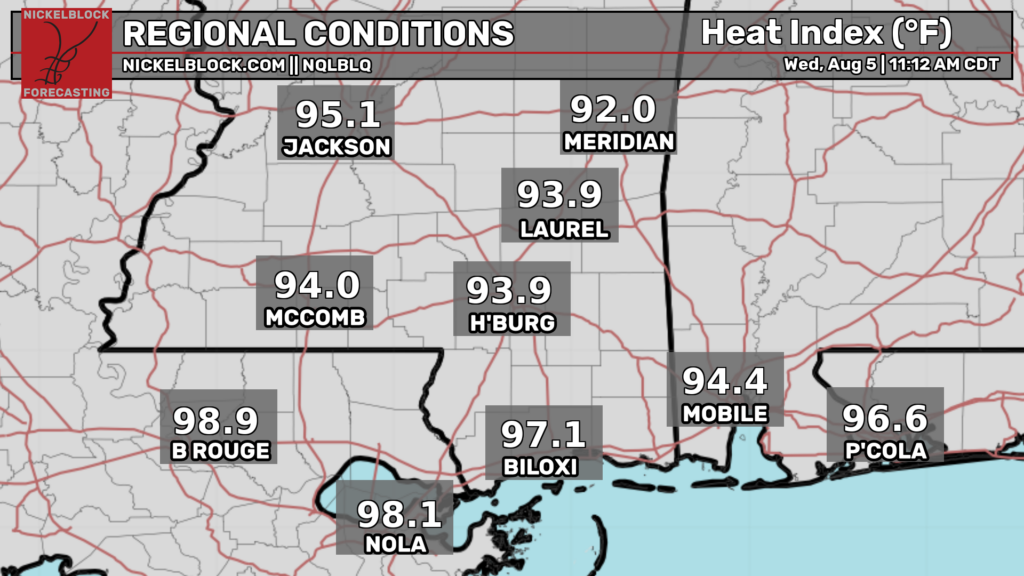
Dew points are slowly rising with mid 70s along the coast versus upper 60s further north. This will have big impacts on our chances for afternoon convection. The humid airmass is expected to advect northward over the next 24 hours causing our entire area to really feel the mugginess.
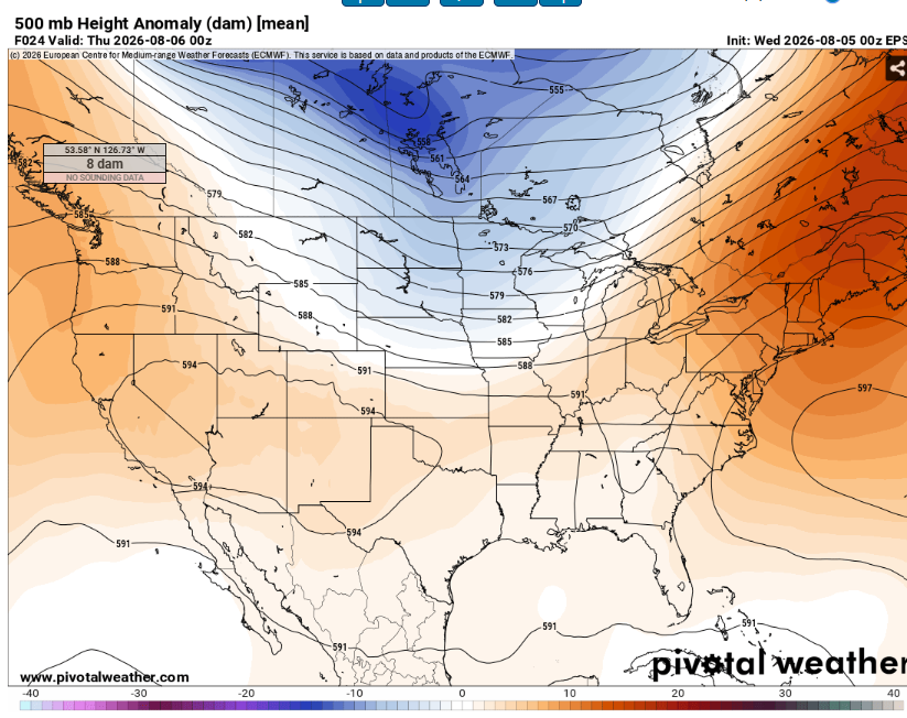
500mb height anomalies are very low so this heat shouldn’t be record breaking but it will still feel yucky outside.
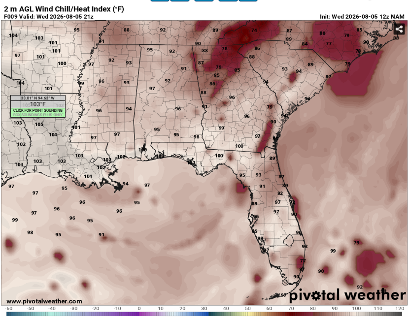
Given the higher dew points further southwest, heat indexes will also be higher there. Expect them to peak close to 105 given highs in the mid to upper 90s. Make sure to drink plenty of fluids and take breaks in the AC if you must be outside. All the heat and moisture will allow for plenty of fuel for storms.
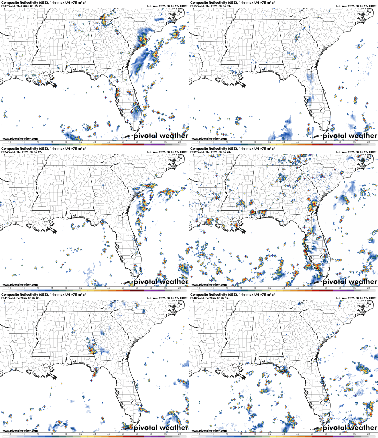
Storms will be most likely across Louisiana given the higher surface dew points. They won’t be long lived or severe but they may cause a quick down pour with some lightning mixed in (and as usual we can’t rule out some gusty winds as they collapse). Most locations will remain dry however.
Tomorrow will be more of the same. Given that moisture will make it further north storms will be a bit more likely across the entire region. Highs will again be in the mid to upper 90s.


