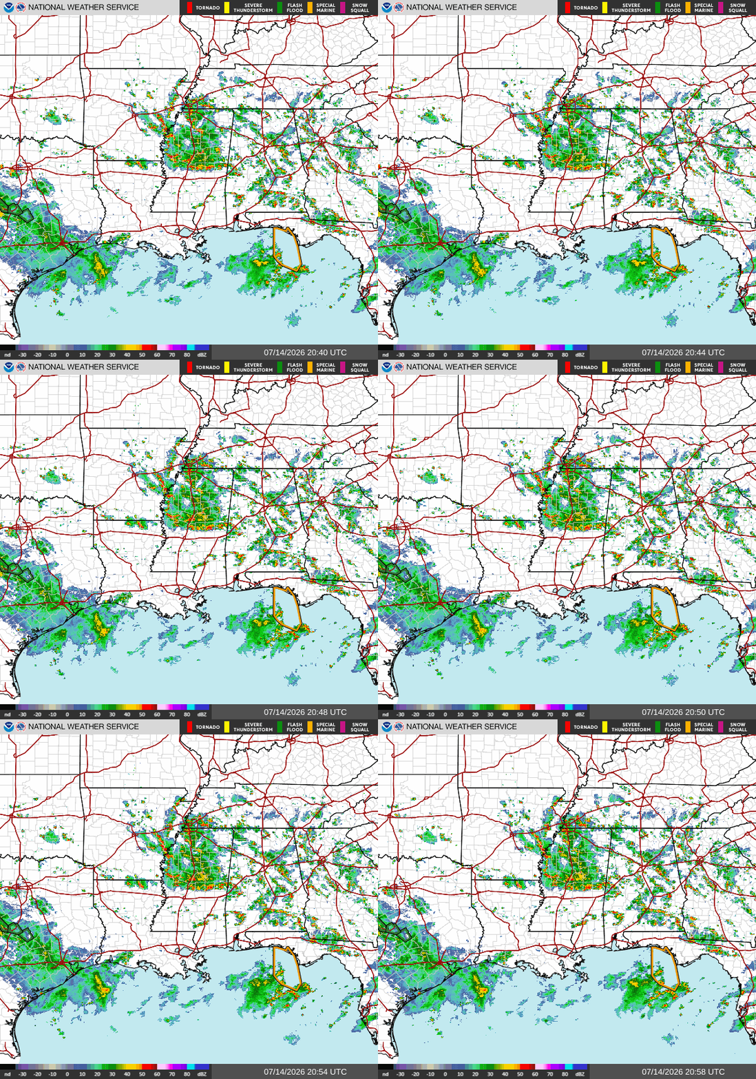
Current
As this is being written, we have scattered showers and thunderstorms just south of I-10 in Southwestern LA, over Lamar and Forrest Counties in MS, going across I-59, and in Clarke County, AL. No active alerts in our area.
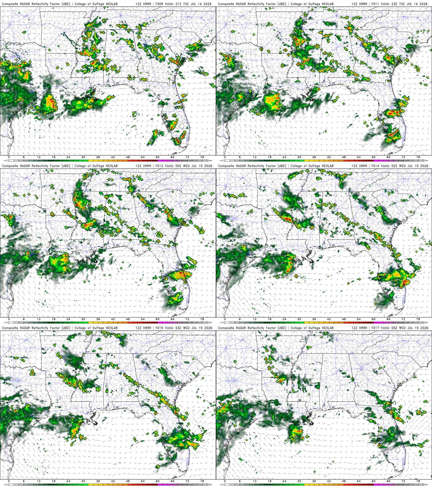
Tonight
Yesterday, Southern LA was forecast to receive heavy rainfall until late in the evening. Now, the heavier rain will be seen around late evening (7 pm). The showers and thunderstorms are pushing northeast, impacting the southern portion of Central LA. Southern MS and AL may see brief isolated showers and possible thunderstorms around the late afternoon/ evening.
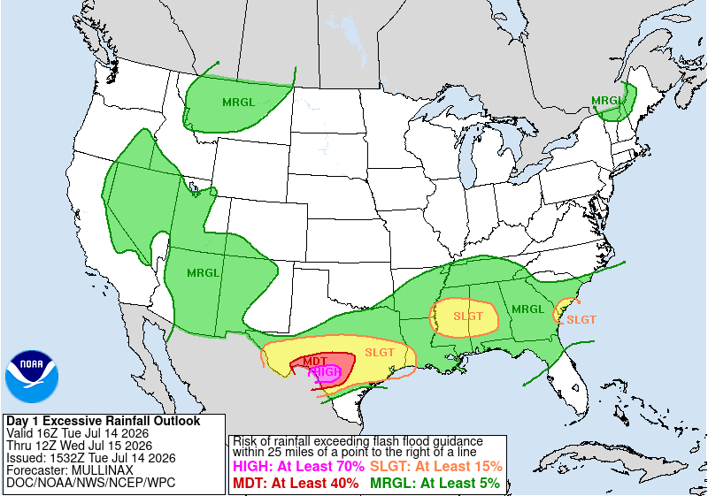
The excessive rainfall outlook remains very similar to yesterday’s forecast. Localized and scattered flash flooding is possible.
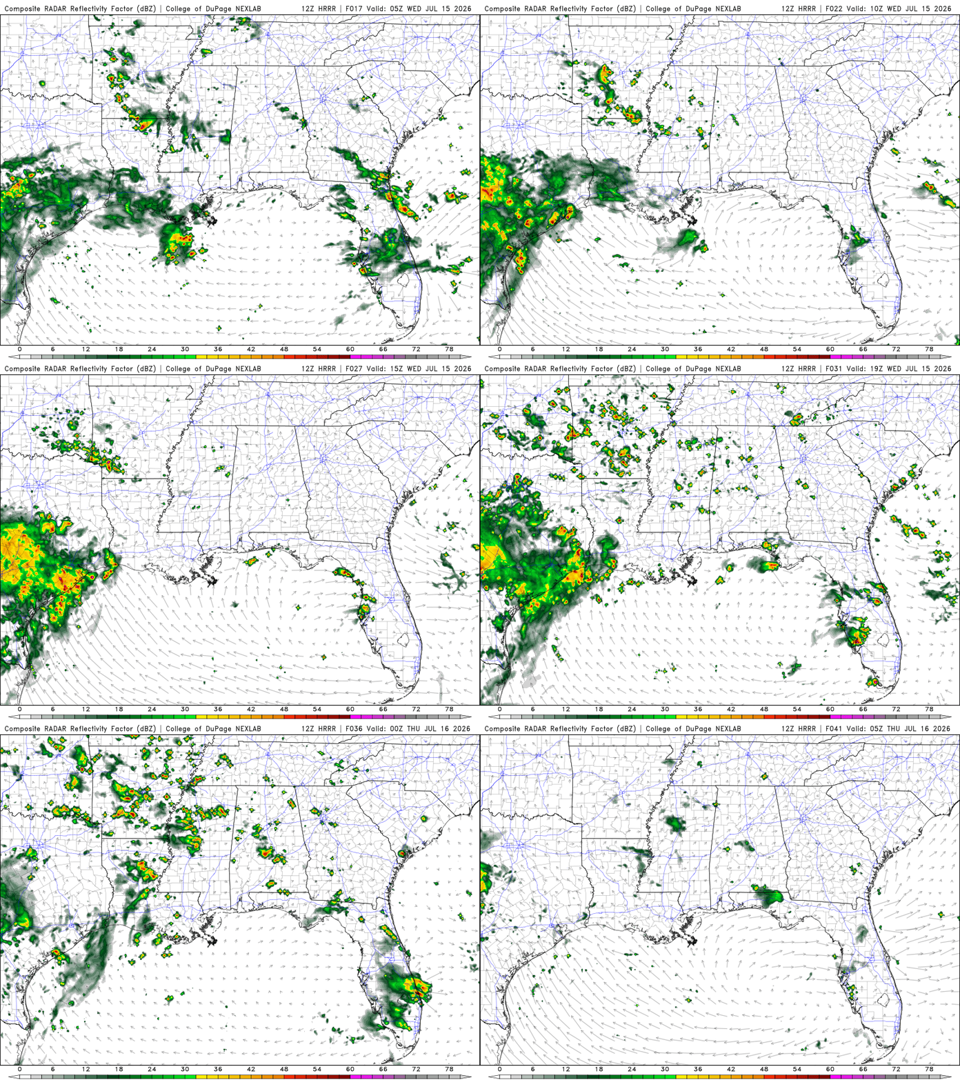
Tomorrow
There’s a slight chance Southern AL may see a brief isolated thunderstorm or two overnight. Southeastern LA will be experiencing scattered showers and thunderstorms until late evening, with a small break during the morning hours. SPC outlook has our area under general thunderstorms.