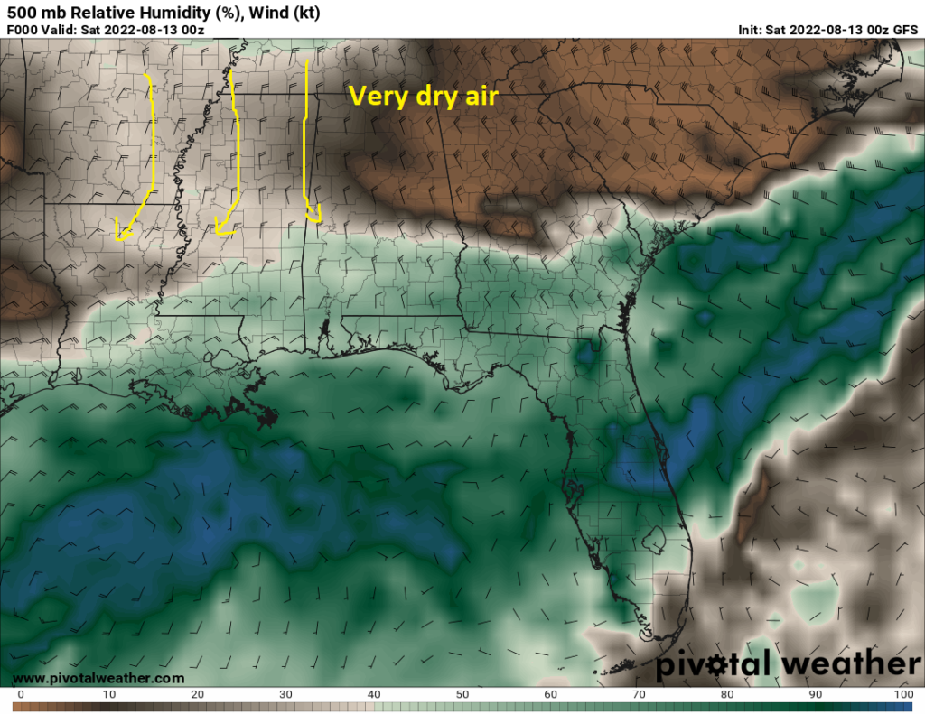
As we enter next week, the opportunity for showers and thunderstorms will gradually rise for each successive day. But for this weekend at least, the chance for precipitation will remain sporadic and scattered. At the surface, a dissipating stationary front remains more or less parked around the I-20 corridor. This stationary front will help to act as a lifting mechanism for any aspiring showers or thunderstorms. Up aloft, we sit under the influence of northwesterly flow aloft with high pressure to our west, and low pressure to our east. This northwesterly flow is bringing in drier air in the mid levels, which will work against anything trying to form. This pattern will hold over the next week, although the chance for showers and thunderstorms will look to increase a bit by mid next week.
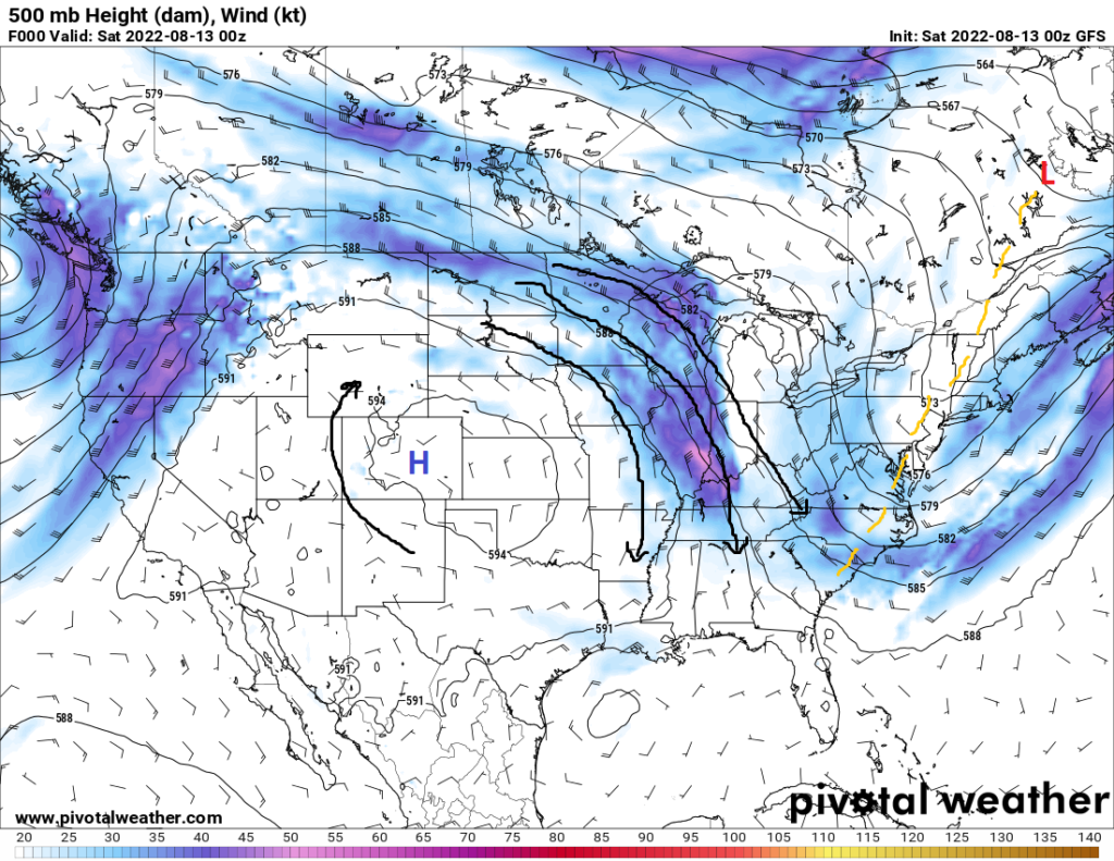
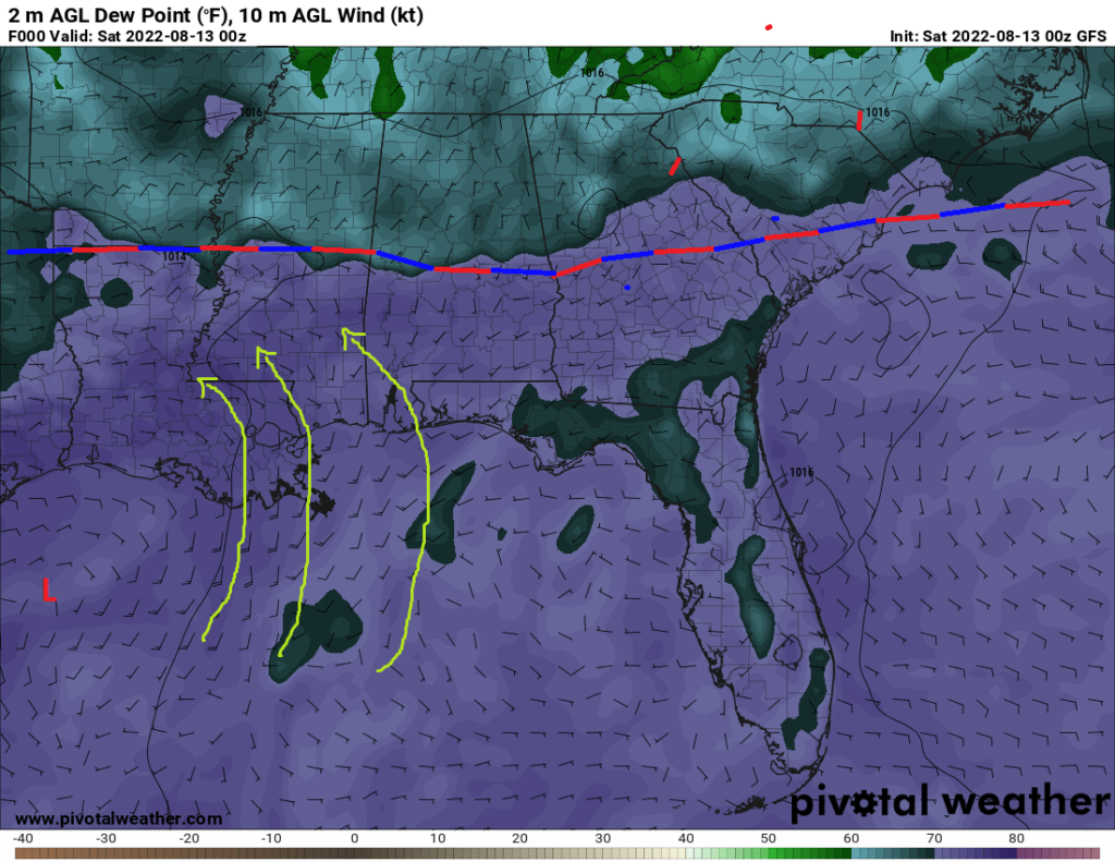
For this weekend, some showers and thunderstorms may try to form off of this stationary front. Warm, moist air streaming in from the Gulf of Mexico will continue to interact with the stationary front and offer the opportunity for the development of precipitation. The aforementioned dry air aloft, along with some influence from the ridge off to our west, will however keep chances very sporadic across the area.
While not completely suppressed (being how showers and thunderstorms can find a way to form in this part of the country at any time during this time of year), the absence of precipitation will help temperatures rise steadily as we progress through the weekend. Temperatures are expected to rise from the mid to upper 80s this weekend up to the low to mid 90s before the arrival of the cold front later in the week.
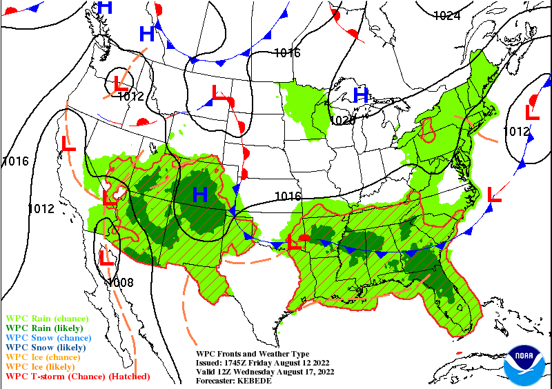
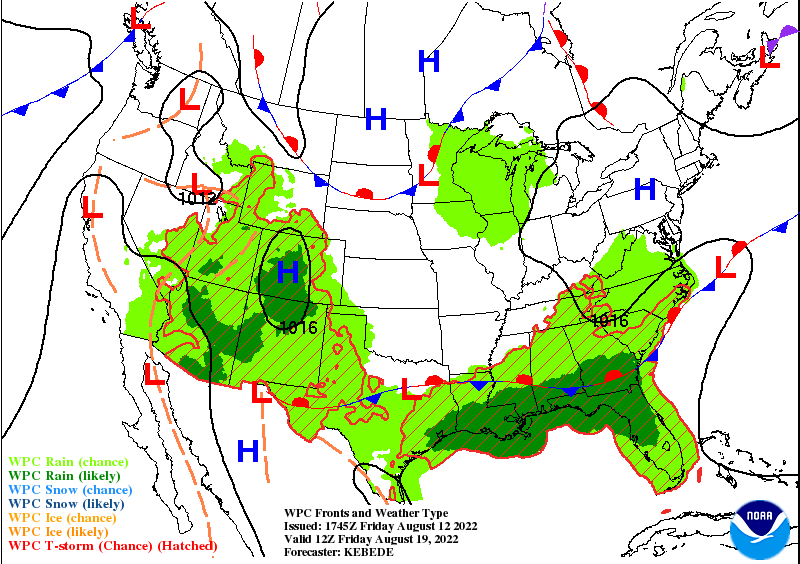
Towards the middle of this upcoming week, the potential for showers and thunderstorms is expected to rise with the arrival of this cold front, if it does make it this far south. If that is the case, we can expect a rise in the probability and coverage of showers and thunderstorms. PW values will start to increase once again to around the 2 inch range, which will leave the opportunity for heavy rainfall with some of these storms. By Friday, the cold front is expected to stall out, essentially splitting southwest Mississippi in half, and will continue to offer chances for showers and thunderstorms.
Day to Day Forecast
Saturday
Partly cloudy skies, with a stray shower or thunderstorm possible. High temperatures in the upper 80s to low 90s. Low temperatures in the mid 70s. Chance of rain 30%.
Sunday
Partly cloudy skies, with a stray shower or thunderstorm possible. High temperatures in the upper 80s to low 90s. Low temperatures in the low to mid 70s. Chance of rain 20%.
Monday
Mostly sunny skies, with a stray shower or thunderstorm possible. High temperatures in the low 90s. Low temperatures in the mid 70s. Chance of rain 20%.
Tuesday
Mostly sunny skies, with a chance of showers and thunderstorms. High temperatures in the upper 80s to low 90s. Low temperatures in the mid 70s. Chance of rain 40%.
Wednesday
Partly cloudy skies, with a chance of showers and thunderstorms. High temperatures in the upper 80s to low 90s. Low temperatures in the upper 70s. Chance of rain 40%.
Thursday
Mostly cloudy skies, with a chance of showers and thunderstorms. High temperatures in the low to mid 80s. Low temperatures in the mid 70s. Chance of rain 50%.
Friday
Mostly cloudy skies, with a chance of showers and thunderstorms. High temperatures in the mid to upper 80s. Low temperatures in the low to mid 70s. Chance of rain 40%.


