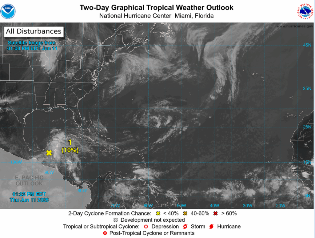
Looking across the Atlantic, we are seeing pretty quiet conditions, but for the Gulf, the National Hurricane Center is monitoring an area of low-pressure near the Bay of Campeche in the southwest Gulf. Although gradual development is possible through the weekend, at this time no direct impacts for our area are expected.
This Gulf storm is interesting as it formed from the leftover moisture and energy from the Eastern Pacific Tropical Storm Christina as she moved inland across Central America and southern Mexico. This low-pressure system is projected to move into northeast Mexico on Saturday night, where the pressure gradient will bring rough seas and strong winds to the Yucatan Peninsula and the South Texas coast. The pressure gradient between the higher pressure over the Gulf and lower pressure near the Bay of Campeche is helping draw moisture into the system, supporting continued thunderstorm development.
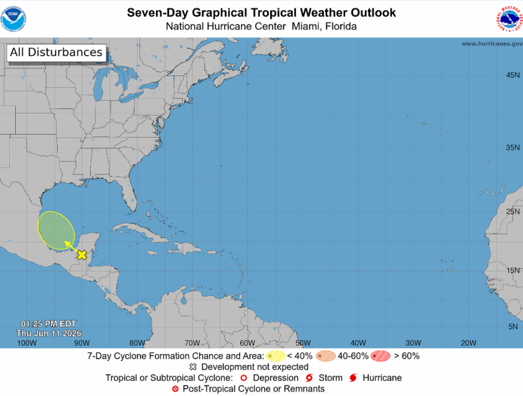
As we see above, the storm is projected to head towards Northeastern Mexico and as its remnants continue past, some Texans may be seeing the weak end of this AOI (Area of Interest). Overall, nothing to be worried about as the storm is expected to diminish early next week as the low-pressure moves inland and weakens.
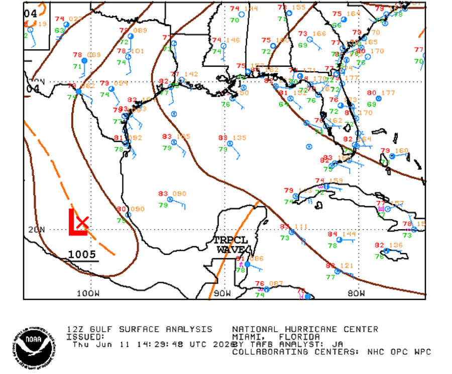
This surface analysis shows a weak surface low over Mexico and a tropical wave over the Bay of Campeche. This westward-moving tropical wave is what the NHC is monitoring with the official outlook showing a 10% chance of development in the next 48 hours, and 7 days. This means that the National Hurricane Center gives this disturbance a 1 in 10 chance of developing into a tropical storm or depression over the next 2 to 7 days. In simple terms, this system is unlikely to organize enough to become a named tropical cyclone, but this disturbance can still bring heavy rain, gusty winds, and rough seas to coastal Gulf cities.


