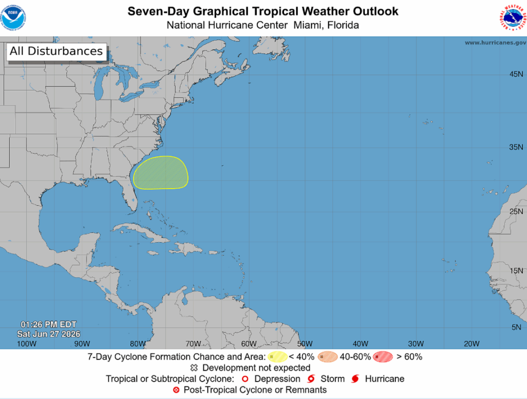
The National Hurricane Center has identified an area off the east coast of the U.S. for potential development. Right now, there is a 20% chance of tropical development during the next seven days.
A cold front is expected to drop south late Monday, and with it, a weak low could try to develop offshore (shown below).
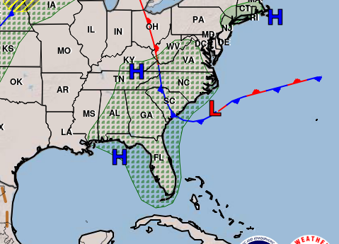
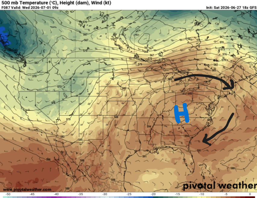
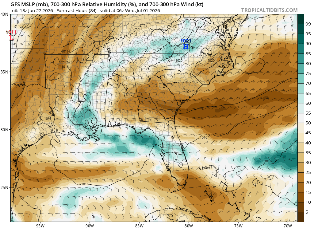
Strong ridging is expected to be anchored over the eastern half of the country in the upcoming week, resulting in onshore winds blowing toward the west. This means that if a tropical system does materialize, it would be steered west towards Georgia or Florida.
Most guidance models show a weak area of low pressure forming off the Carolina coast before it weakens and falls apart over the Atlantic, likely due to a plume of dry air forecasted to be in the area. However, warm sea surface temperatures and relatively weak wind shear are also expected to be in place. Overall, it’s still pretty uncertain whether the environment will ultimately become favorable for development, but it’s something we’ll continue to monitor.
Other than that, the tropical Atlantic and gulf remain quiet as upper-level wind shear and Saharan dust are keeping things in check. No impacts are currently expected for the Gulf Coast but check back in as we’ll let you know if anything changes!


