Currently, the Atlantic Ocean has one area to watch: Tropical Disturbance Two in the central tropical Atlantic. Tropical Disturbance One has a near 0% chance of formation over the next week, so I will focus on Tropical Disturbance Two.
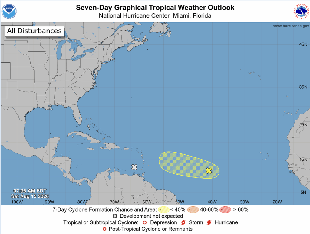
Disturbance Two has a 10% chance of formation over the next week. A tropical wave midday between the Cabo Verde Islands and the Lesser Antilles is continuing to produce unorganized showers and thunderstorms.
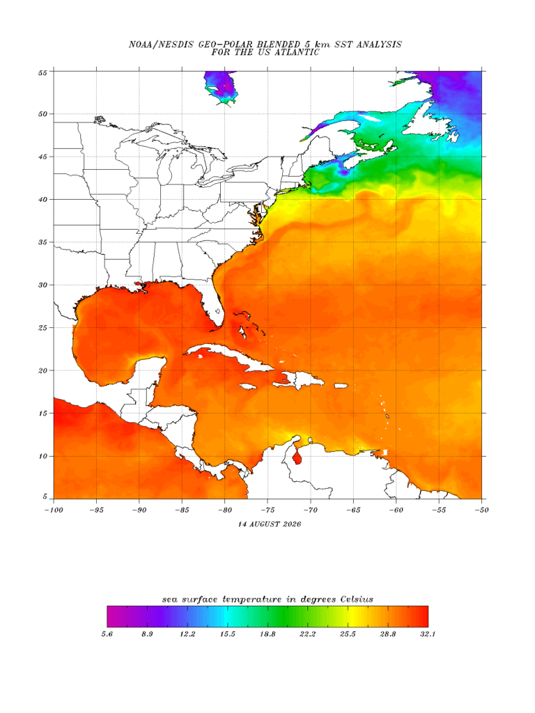
Sea Surface Temperatures (SSTs) are in the optimal range at around 28 degrees Celsius for tropical development. SSTs have to be warm for development because the warmth provides the energy and buoyancy to fuel atmospheric convection and rotation.
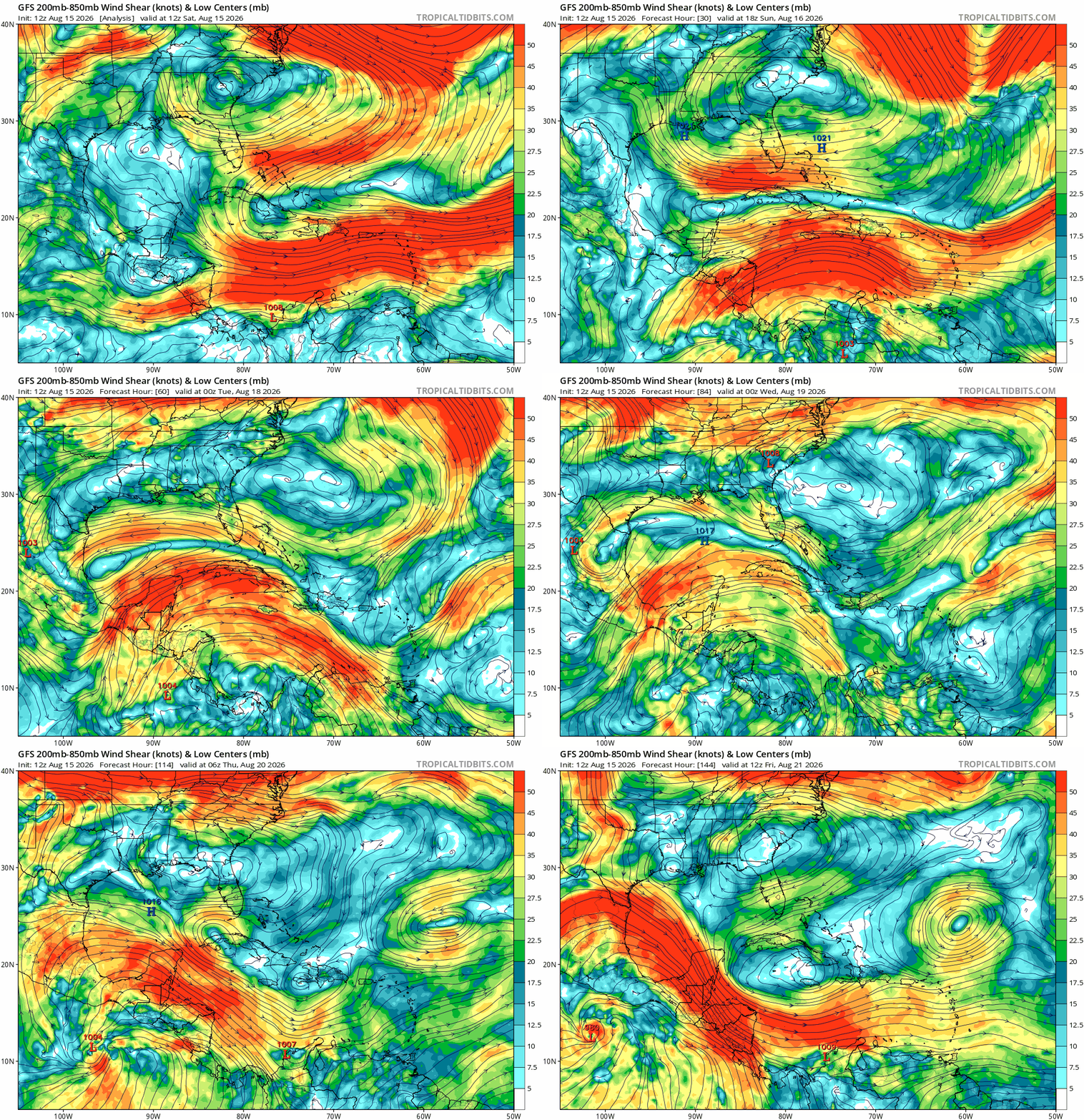
The Caribbean Sea has moderate to strong wind shear over the next week. Tropical development would be hard to sustain going this route. On the other hand, I could see Tropical Disturbance Two taking a northwest route since the wind shear is low to moderate. For tropical development, wind shear has to be low, or a tropical cyclone would fall apart.