Looking ahead, not much changes in the forecast for the coming days. Thankfully the weather remains mostly calm. The only thing we have to worry about is the warmer temperatures.


Highs today will be in the 80s, but it may feel like the mid 90s to some folks that are working out inthe sun. So, if you have to be working today, make sure you take extra breaks and hang in the shade for a while. I know this isn’t “big time” heat, but its the first burst of the stuff this year. Don’t forget to give your body a rest.
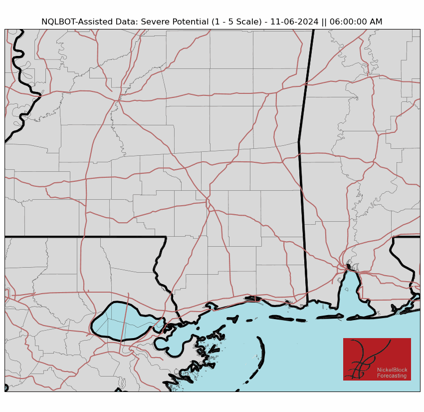
Looking toward midweek and the weekend, a low-pressure system developing in the Central Plains on Wednesday will move northeast, bringing a cold front towards the southeastern U.S. by late week. This interaction between the front and the warm, moist air could lead to isolated showers and thunderstorms Thursday. Some of these storms might become severe, with the potential for damaging winds. On top of that, heavy rainfall could cause localized flooding in some areas.
It looks like the highest risk for severe weather will be closer to I-20 and northward.
Confidence in the exact path of the front beyond Thursday night is still uncertain, but as it moves further south, thunderstorm chances will diminish by Friday. Heading into the weekend, expect quieter weather with slightly cooler temperatures.
REGIONAL DAY TO DAY FORECAST
Today: Partly sunny. Highs in the upper 80s. South winds 10 to 15 mph with gusts up to 25 mph.
Tonight: Partly cloudy in the evening, then becoming mostly cloudy. Lows in the lower 70s. South winds 5 to 10 mph.
Wednesday: Mostly cloudy in the morning, then becoming partly sunny. Highs in the lower 90s. South winds 10 to 15 mph. Gusts up to 30 mph in the afternoon.
Wednesday Night: Partly cloudy in the evening, then becoming mostly cloudy. Lows in the lower 70s. South winds 10 to 15 mph.
Thursday: Partly sunny. A slight chance of showers and thunderstorms in the afternoon. Highs around 90. South winds 15 to 20 mph. Chance of rain 20 percent.
Thursday Night: Thunderstorms likely. Showers likely. Lows in the upper 60s. Chance of rain 60 percent.
Friday: Partly sunny. A chance of showers and thunderstorms, mainly in the morning. Highs in the mid 80s. Chance of rain 40 percent.
Friday Night: Mostly clear in the evening, then becoming partly cloudy. Cooler with lows in the upper 50s.
Saturday: Mostly sunny. Highs in the lower 80s.
Saturday Night: Partly cloudy. Lows in the upper 50s.
Sunday: Mostly sunny. Highs in the lower 80s.
Sunday Night: Partly cloudy. Lows in the upper 50s.
Monday: Mostly sunny with a slight chance of showers and thunderstorms. Highs in the mid 80s. Chance of rain 20 percent.


