It doesn’t matter where you live across southern MS/AL/LA it will be another hot day today. Heat Advisories and Excessive Heat Warnings are in effect for nearly everywhere. And even in places where not Advisory is in place it will still be plenty hot.
We will all be living in that episode of the Simpsons…

Yeah, that one!
With high pressure in pace, it will continue to allow air to sink, compress, and heat up. It will also limit the chance for a cooling shower or storm. A lot like the last few days, we will see one or two storms here and there, but widespread chances for rain are not in the cards.
So if you are lucky enough to get some rain today, maybe consider buying a lottery ticket – it is your lucky day!
Eventually this ridge will weaken and shove west. That will allow for a front to try and sag through the area. That same front will allow for some better chances for rain and cooler temperatures to ease into the region, too. All good news.


But it won’t happen until next week. And just as soon as it happens, the pattern resets and a ridge starts to build back into the are again. This one won’t be quite as potent (at least, as it appears right now) but should help to keep any tropical riff-raff away.
“Should” being the key word. We will have to see if the pattern holds up. The National Hurricane Center is still monitoring a tropical wave which they now give a 60-percent chance of development during the next five days.

One of our awesome interns will have a detailed tropical discussion out later this morning with more info on this potential system.
Zone Specific Forecast
The Interns did another great job putting together forecasts for everyone. Read about your area t the link below, or read them all!
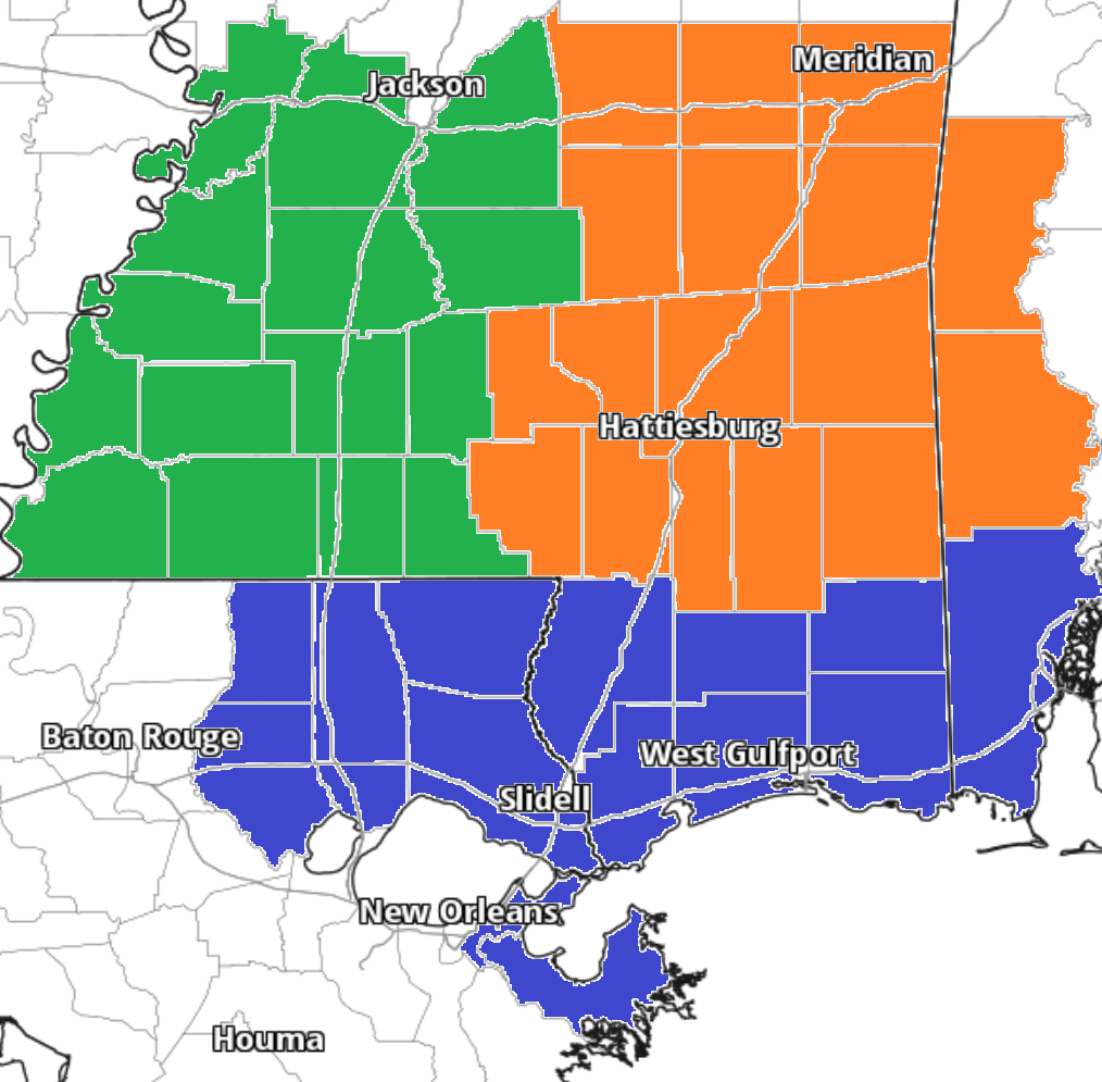
Team Green (southwest Mississippi counties) on the left
Team Orange (southeast Mississippi counties and southwest Alabama counties) in the middle
Team Blue (southeast Louisiana parishes and coastal Mississippi / Alabama) on the right
Day to Day Forecast
No general day to day forecast today! But a specific day to day forecast for your area is available from the interns at the links above!


