South Mississippi Forecast Page
Hey guys, Nick Lilja here! Welcome to your new one-stop spot for South Mississippi weather data. This page will house the latest forecasts, radar data, SPC and NHC outlooks and more!
No need to download an app and clog your phone! Just bookmark this page and add it to your homescreen (for more info on how to do that, click here)!
Recent Forecasts
- Warmer, More Fall-Like Weather For the Rest of the Week – Weekend Forecast for South MS/LA/AL 10/21/26
 It’s been another beautiful day today with highs just reaching 80! The wind has been fairly light, but otherwise, it feels like Fall! It’ll continue to be that way for several days as well. Let’s…
 - Cool Mornings & Dry Warming Afternoons: Southern MS/AL/LA Local Weather Forecast – 10/20/26
 Current Conditions It’s a sunny, fall-like afternoon across the region, with dry air making it feel pretty comfortable outside. High pressure is keeping things quiet, with little cloud cover and no rain to worry about.…
 - October’s Dry Spell Persists, Warm Weather Ahead – Week Ahead Forecast for South MS/LA/AL 10/19/26
 As we’re further into the Halloween season, we are in the self-fulfilling prophecy of dry October. Typically, this is the driest month of the year as the mid-latitudes begin to ramp up again and Gulf…
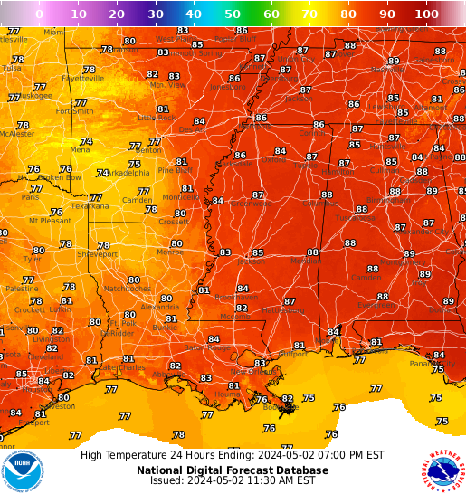
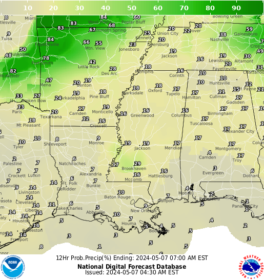
Regional Forecast Graphics
Local NWS Forecast Discussion
Here is a look at the local forecast from the local NWS:
Interactive Radar
Here is a look at the local radar:
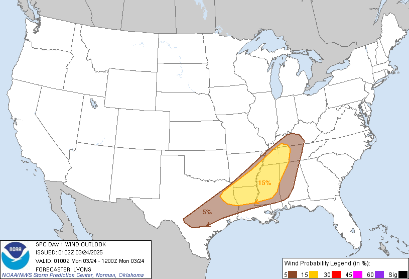
Storm Prediction Center Outlook


SPC Discussion:
National Hurricane Center Forecast

NHC Tropical Atlantic Discussion:
NHC Full Tropics Discussion:
Recent Tropical Weather Forecast Breakdowns
- Dry End to the Week, Gusty Weekend Ahead – Weekend Forecast for South MS/LA/AL 10/14/26
 As Matt and I have mentioned already, there’s not a lot of rain to speak of for our area and there’s a few reasons why. A strong high pressure system from the low to the upper atmosphere will hinder any type of convective development (i.e, rain and thunderstorms) for a while. And I mean a…
Read more of Dry End to the Week, Gusty Weekend Ahead – Weekend Forecast for South MS/LA/AL 10/14/26
- Dry and Hot Days Ahead, Cool Off By the Weekend – Week Ahead Forecast for South MS/LA/AL 10/12/26
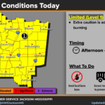 After Isaias’s departure this weekend, we’re left literally high and dry for the rest of the week! A high pressure system takes its place and there will be nothing but dry conditions even with a large front moving in by Friday. Our high will choke out a lot of the moisture that would normally move…
 - Hurricane Isaias moving to the east, breezy with some rainbands and gusty wind: Southern MS/AL/LA Weather Forecast
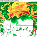 I want to start with a brief note for the folks in northwestern Florida and southwestern Alabama. I know we often include you guys in our general forecasts, day-to-day. But for high impact weather like this I would really, really encourage you guys to check out Spinks Megginson. While I can give you guys a…

